Monday, 13 February 2012

No.9: Caistor Challenge


A circular route providing scenic views of the Lincolnshire Wolds, The Caistor Challenge takes in eight villages and churches and passes the county's highest point.
A 'sister' LDP to The Caistor Challenge Alternative, it utilises The Viking Way between Tealby and Caistor, and the paths to the west between Caistor and Claxby that constitute the early stages of The Lindsey Loop.
Willingham Woods provided a convenient start and finish point for the run, which was completed in an anti-clockwise direction.


Sunday 13th February, 25 miles


Those two again...


...tagging along with me on another cold and wet adventure.


Into Dog Kennel Woods.


Bridge over the beck.


Stopping to shed layers, early on.


A touch of the Orient at Tree Tops, North Willingham


Looking back on Tealby...


...Lincolnshire's Best Kept Village 1997.


A steady climb towards Risby.


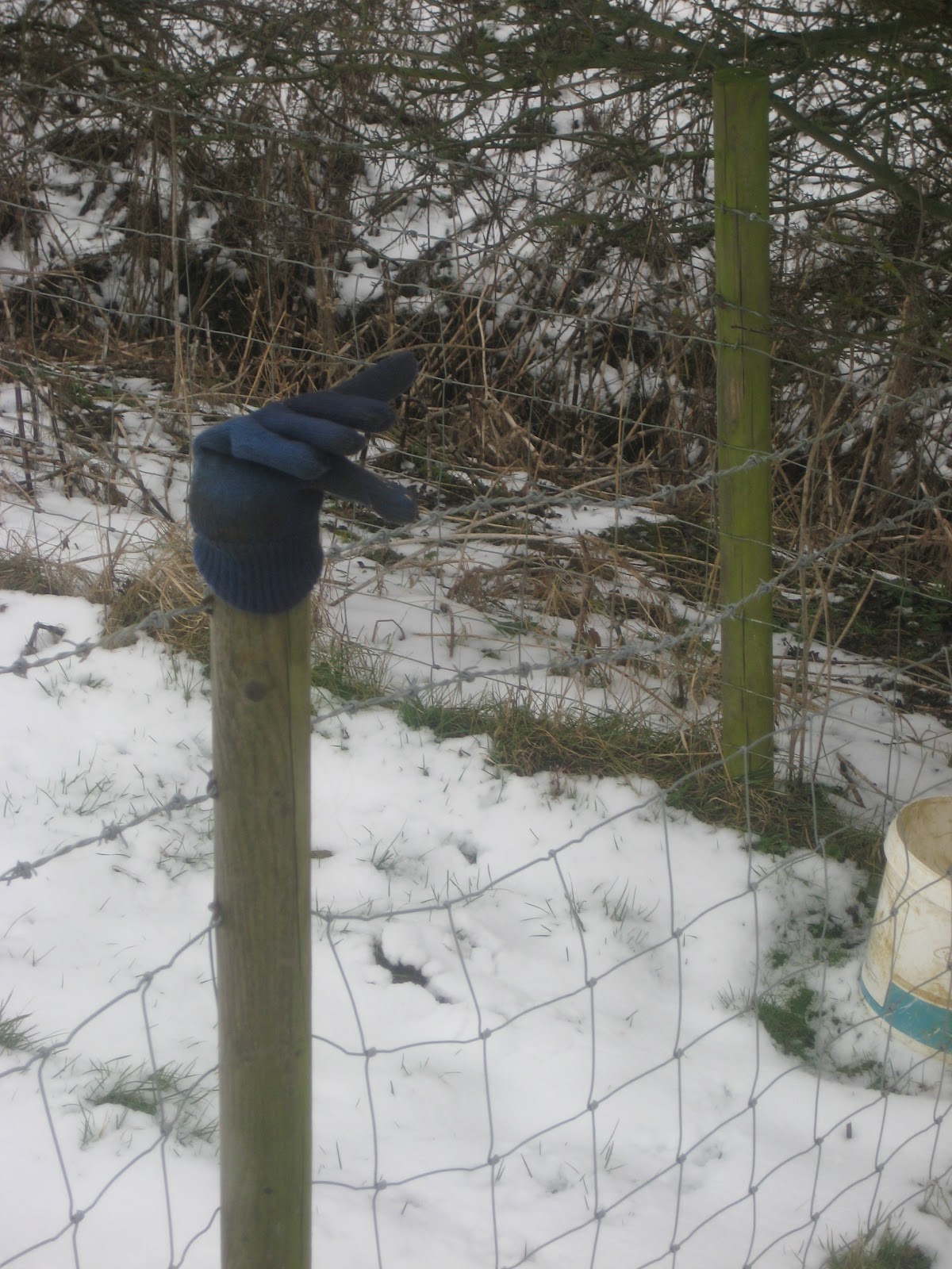
'Fancy a spot of shopping?'


Seeking sanctuary at The Ramblers' Church, Walesby.


Hiking the steep section from Walesby towards Normanby-le-Wold.


Looking back towards the church.


Passing the Golf Ball Tower in search of Lincolnshire's summit.


Hidden by a hedgerow in a remote field... a trig pillar marks the highest point in Lincolnshire (551 ft).


 The Highest Men in Lincolnshire, part 1...


...part 2...


...part 3.


Knee-deep drifts? No problem!


Descending into the Nettleton Valley.


Access denied at the Chalk Pit.


Waving.


My Little Pony, Nettleton Grange.


Fire Station, Caistor.


Looping back from Caistor to Nettleton.


A last drink before the final push for home.


Heading for Claxby.


The last church - St. Mary's, Claxby.


Redhead.


Legging it to Nova Scotia Bridge.
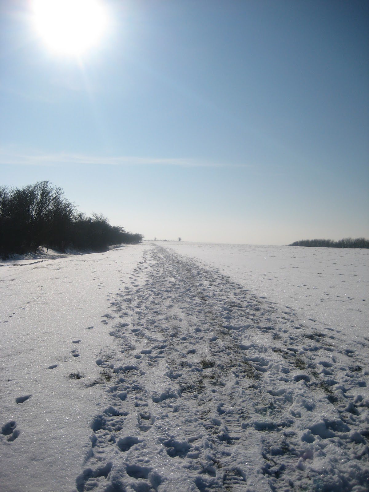


  Back to the start.


One more in the bag!

Saturday, 11 February 2012

No.8: Caistor Challenge Alternative

Starting and finishing in Caistor, this circular LDP follows the route of The Viking Way via Nettleton, Walesby and Tealby to Ludford. It returns with a route to the east, passing through Stainton-le-Vale and Rothwell.
Running through the very heart of the Wolds, this path is, at times, challenging in inclines and awe-inspiringly beautiful.
Due to the difficult driving conditions, I opted to access the route at Ludford - a half-hour closer to my home than Caistor - and complete the circuit in an anti- clockwise direction.


11th February, 26 miles


Early morning light through the trees at Ludford Village Hall car park.


Just in time for sunrise.


Comets.


Leaving Ludford.


Sun sprinkling magic.


Lincolnshire in rose light.


Memories are made of this.


Stay golden.


Towards Thorpe-le-Vale.


Frozen fishing lake.


Heading for the sun.


Shards.


Frost on the fence, Kirkmond-le-Mire.


Breaking tracks on way to Thoresway.


Into the blue.


Shifting sands.


'S E X' tree.


Rothwell - home of one of Lincolnshire's most famous road races, The Tough Ten.


Flip-flop crossroads.


That sinking feeling, Nettleton Top.


Memorial water pump, Caistor town centre.


 Entering Nettleton valley from the north.


Down to the Chalk Pit.


Looking back from Chalk Pit woods.


Off-piste.


Power cut.


Golf Ball Tower, Normanby-le-Wold.


Looking down from the highest point in Lincolnshire, Normanby Top.


Following in your footsteps.


Climbing to The Rambler's Church, Walesby.


Doing it in stile.


Scrambling up snow slopes en route to Tealby.


Keeping an eye on little one.


A jog down Memory Lane.


Over the ford at Tealby.


On the Zig-Zags towards High Street.


Stud Config. (What sort of crazy creatures make these tracks?)


Finish in sight.